SOUTH ISLAND, NEW
ZEALAND, February
2008
|
|
We
invited Sverre Erik from the Norwegian sailboat Vagabond
Virgin to join us for a trip to South Island. We filled the car
with camping gear and headed south. The plan was a 10 days expedition
hiking in some of the scenic reserves on the South Island.
The first
five days we had lovely weather and summer temperatures. In Abel Tasman
national park we walked for two days with tent, primus, sleeping bag,
beef, red wine and bacon and egg on our back. We discovered that it
is heavy to carry all you want when hiking. It is much easier
to have it onboard...
We camped further south on the west coast in wonderful nature, but it
got colder. We saw the Fox Glacier through rain and fog. We crossed
South Island via Arthur's Pass to Christchurch, before we headed north
to catch the ferry back to North Island.
|
 |
 |
 |
| Norsewood
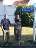
- the Norwegian "City" at North Island. |
Danevirke
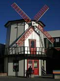
- the Danish City at North Island. |
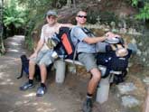
Three
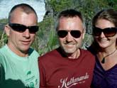
happy trampers– Sverre Erik from Vagabond Virgin, Heidi and Eivind. |
 |
 |
 |
| Picton
- our first touch with the South Island. |
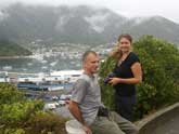
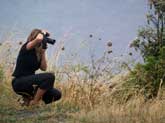
Heidi
the photographer. |
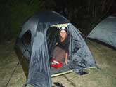
Ready
for the first night in tent, Picton. |
 |
 |
 |
|
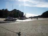
We entered the little vessel as it was on the trailer. Up front you can
see the tractordriver, as he is about to launch us at the shallow beach.
|
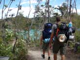
It is a lot of stuff to carry, when you have it all to "survive"
for a couple of days in a row… |
 |
 |
 |
|
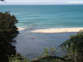
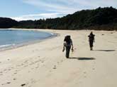
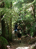
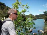
We took the boat to Tonga
Island. From Tonga Island we tramped back along the coastline. Some places
the scienery looks as we shoud have been in the Tropics, even tough we
weree at 40 degres S. |
 |
 |
 |
| Low
tide = shortcut |
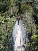
Small
suspending bridges also gave some shortcuts. |
Almost
tropic forest, even tough we are far south of Equator. |
 |
 |
 |
|
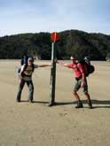
The Abel Tasman Track follows the coastline most of the way, so we did not
feel that the distance to the sea was to big... |
If you are to be moored at the bottom, it is safest to use the anchor...
|
A
little brake... |
 |
 |
 |
|
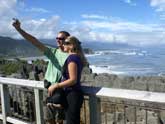
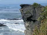
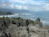
Pancake Rocks at Punakaiki on the west coast of South Island. It was not
high tide at the time we visited the Pancake Rocks, so we did not see or
hear the roaring cascades of water the place also is known for. |
 |
 |
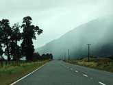 |
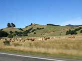
| From
along the road, South Island. |
 |
 |
 |
| Queen
Charlot Sound. |
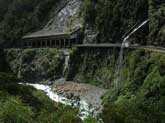
Arthurs
Pass. |
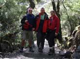
Arhurs
Pass. |
 |
 |
 |
|
Arthurs Pass is at about 1000 meters above sealevel.The temperature was
lower than in the lowlands. |
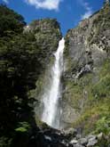
Devil's Puncbowl at Arthurs Pass is a 130 meter long waterfall and is a
known site at South Island. |
The
roads at the west coast of South Island sometimes reminded about the roads
in the western parts of Norway. |
 |
 |
 |
| Westland
or was it wet land... |
|
Arthur
Pass. |
|
 |
 |
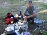
| One
week and we got pretty good at putting the tent up and down. The tenting
life has many good sides. |
 |
 |
|
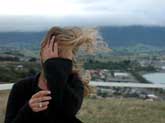
It
was quiet windy at the east coast of South Island.
Kaikorua means shellfish. According to the legend it was from this place
the halfgod Maui was fishing, when he caught the North Island on the hook,
and pulled it on shore. |
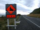
Look
out for seals the next 4 kilometres – have not seen this roadsign in Norway…
|
| |
|
MAIN>>> |
